KVGEO
MULTI-GNSS CORS RECEIVER

  • Multi-constellation multi-frequencies GNSS receiver with on-board computer
  • Reference Station for Continuously Operation Reference Stations/International GNSS Service networks
  • Research multi-constellation GNSS signals
  • Autonomous/PPP/RTK positioning
  • Heading determination (optional)
  • RTCM3.3, NMEA2.3, NMEA4.11, NTL Binary
  • Download proprietary or third-party software
  • Open modular architecture
  • Wireless interfaces (optional)
  • Compact and robust design
  • Technical support and help with equipment setup

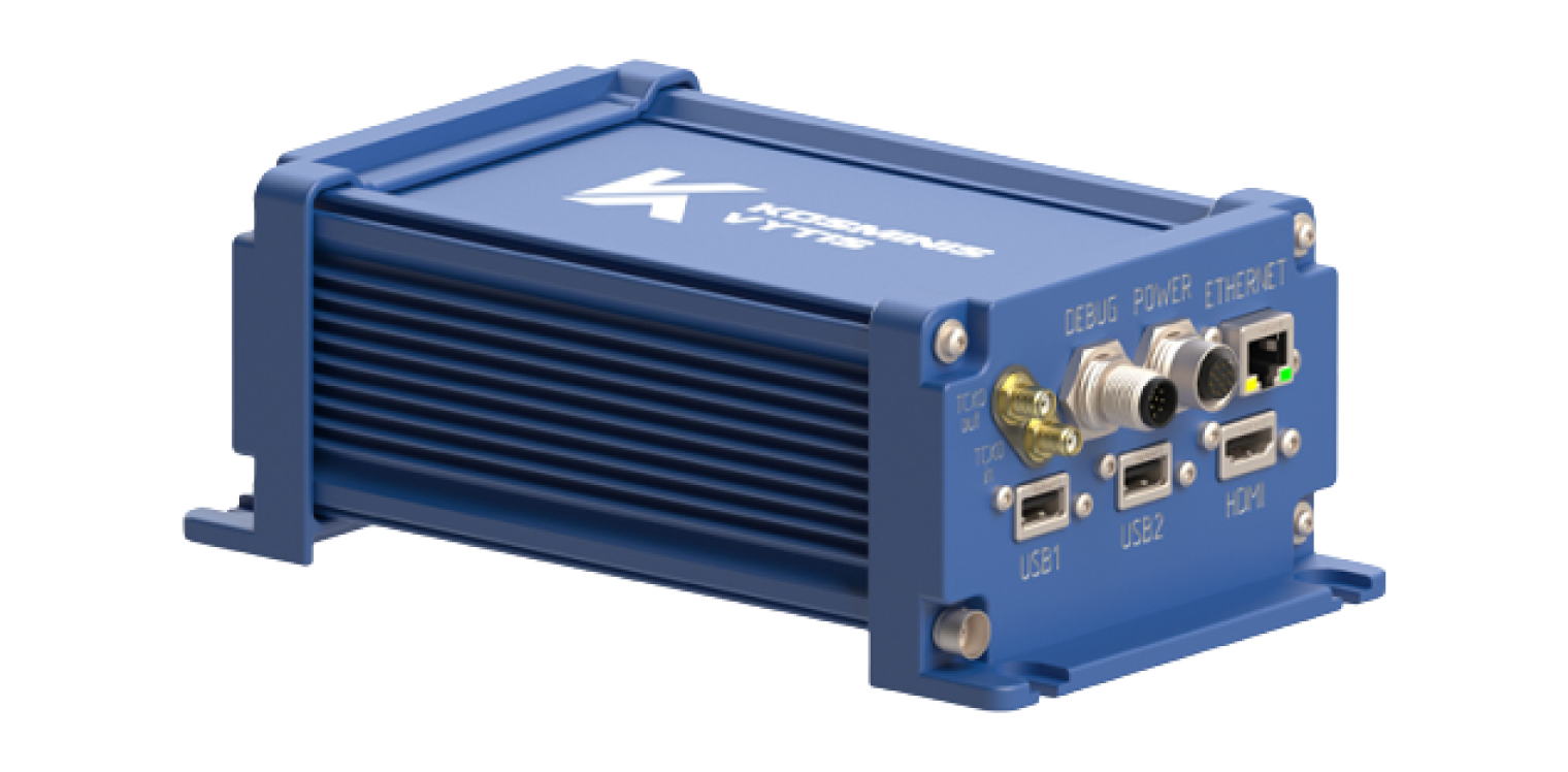
The feature of the device is the possibility to research multi-constellation GNSS signals and provide high-accuracy services in the reference station mode operating for Continuously Operation Reference Stations/International GNSS Service networks.
The main feature of open platform is the possibility to upload customer proprietary or third-party software to on-board Computer-on-Module Platform with Windows or Android or Linux operation system.
The KVGeo modularity and SMARC architecture allow to create the devices with suitable hardware and software to effectively implement the solutions of specific tasks in the area of navigation and control.
KVGeo includes a built-in single board computer, one or two suitable OEM GNSS modules of KV10X family and can be supplemented with radio modem with the requirement type of wireless interface (Wi-Fi, LoRa, NB-IoT, GSM/LTE, UHF radio, Bluetooth) due to mini-PCI Express connectors availability. The wireless interfaces and different types of wired interfaces (Ethernet, CAN, RS232, USB, HDMI) allow to accept signals from various Differential Correction Services and to control the device both locally and/or remotely.

This device is intended for:

  • high-precision positioning (RTK, PPP);
  • autonomous positioning;
  • generating GNSS measurements (code and phase pseudorange, Doppler measurements, estimation of signal-to-noise ratio).
  • the development, debugging and testing of various applications oriented to GNSS signal processing.


TECHNICAL SPECIFICATIONS


GNSS GPS L1(C/A),L2(CM)/L5, GLONASS L1(C/A), L2(C/A), Galileo E1, E5a/E5b, BeiDou B1,B2, NavIC(IRNSS) L5,S-band, SBAS L1 (WAAS, EGNOS, GAGAN, MSAS, SDCM)
Measurement precision (RMS)
Сode measurements1 20 cm
Сarrier phase measurements 0.8 mm
Accuracy (RMS)   Horizontal Vertical
Position – Standalone mode 1.1 m 1.8 m
– SBAS+GPS mode 0.6 m 0.8 m
– PPP mode 5 cm 10 cm
– RTK mode 5 mm + 0.5 ppm 10 cm8 mm + 1.0 ppm
Velocity 0.02 m/s 0.03 m/s
Orientation angles accuracy (RMS)2
Heading 0.06°
Pitch 0.15°
  Position data update rate
Standalone mode 1, 2, 5, 10, 20 Hz
RTK mode 1, 2, 5, 10, 20 Hz
Raw data update rate 1, 2, 5, 10, 20 Hz
Data output format RTCM 3.3 (MSM+Legacy messages), NovAtel OEM, NMEA 2.3, NTL Binary
Ambient conditions
Operating temperature –40 °C … +71 °C
Storage temperature –55 °C … +85 °C
Electrical parameters
Power consumption <8 W
Weight and size
Dimensions (L х W х H) 120 х 77 х 180 mm
Weight (without package) 1500 g
Protection IP67
1 Smoothed pseudoranges

2 On 2 m length baseline


Related Products