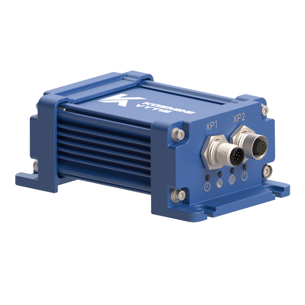
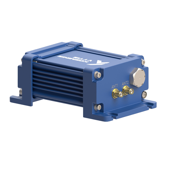
The Newton-2 product line is represented by high-performance multi-constellation multi-frequency GNSS receivers capable of PPP, RTK engines, and heading determination.
GNSS receivers provide 2D orientation of the antenna system (True North Heading + Pitch) along with reliable and accurate positioning using multi-frequency multi-constellation GNSS technology. The performance of GNSS receivers is improved by regional Satellite Based Augmentation Systems (WAAS, EGNOS, GAGAN, MSAS, SDCM and other SBAS-compatible services). The RTK and PPP are powerful technologies used to provide highly accurate navigation data.
Access to raw GNSS measurements (pseudoranges measured by code and carrier phase, SNR, and Doppler) allows for raw data collection and post-processing (PPK), providing users with more capabilities.
GUI (available for free download) provides a software tool for easy setup, configuration, and data logging or viewing. For integration into existing equipment, the OEM version is available (without enclosure).
Our technical support team will help make using our products as easy and straightforward as possible.
PRODUCT UNDER DEVELOPMENT:
For applications requiring full orientation (heading, pitch and roll), the loosely-coupled GNSS+INS integration can be used. The GNSS+INS integration capability allows the real-time fusing of GNSS data (including heading) and IMU data using an Extended Kalman Filter. This integration provides optimal estimates of position, velocity, and attitude under both static and dynamic conditions, even in GNSS-denied environments. In the case of dual antenna GNSS + INS Receiver, heading information (RTK technique) is used for rapid alignment. This allows to obtain the attitude without the vehicle’s acceleration.
If you would like more information about this product, please contact us by completing our GET QUOTE form.